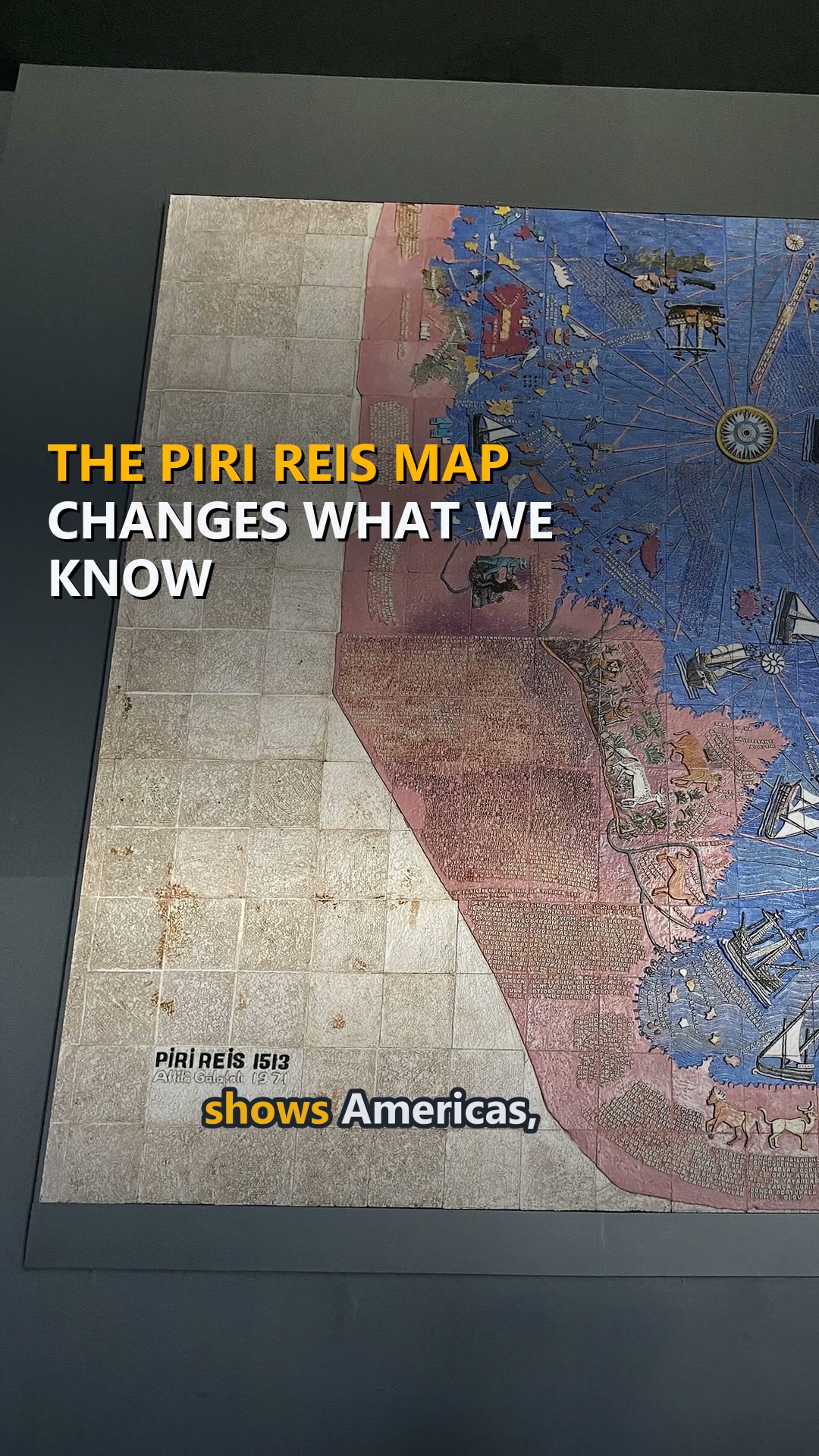
The Piri Reis Map Changes What We Know
Piri Reis map shows Americas, 1513. It is kept in the Topkapı Palace Museum in Istanbul. Piri Reis was an Ottoman admiral and cartographer.
What the video says
Piri Reis map shows Americas, 1513.
It is kept in the Topkapı Palace Museum in Istanbul.
Piri Reis was an Ottoman admiral and cartographer.
Piri Reis created the map in 1513 using many earlier maps.
About one third of the map survives on gazelle skin parchment.
The map shows the Atlantic Ocean and the Americas.
The Caribbean is drawn unlike modern maps with Cuba merged.
Some islands on the map are phantom or unidentified places.
The map uses compass roses and navigation windrose lines.
Inscriptions are in Ottoman Turkish, mostly written by Piri Reis.
Ancient map fragment shows Europe, Africa, and Americas coastlines.
The map includes the earliest records of Terra Australis.
The map vanished after 1517 and was rediscovered in 1929.
The Piri Reis map shows the Americas as known in 1513.
Source
More to watch
More about TürkiyeMore from WorldAll more videos
- Pamukkale’s Cotton Castle Is Made by Water
- Mount Nemrut's Beheaded Gods
- Vikings did not wear horned helmets
- The Diwali gift nobody opened for 7 years
- Is the Bermuda Triangle dangerous? NOAA says no
- The tongue map is a myth: every part tastes everything
- Building the Süleymaniye Mosque
- The Tunnel Under the Bosphorus