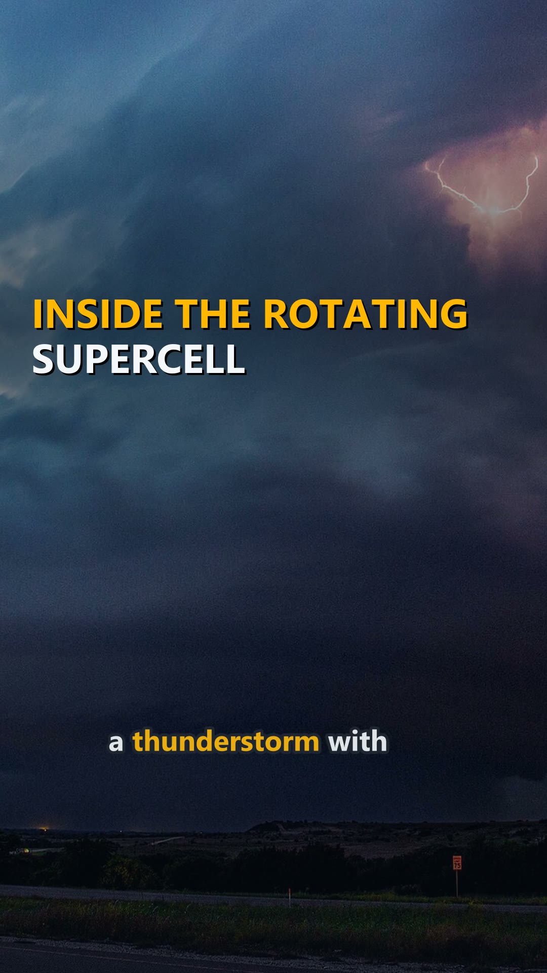
Inside the Rotating Supercell
A supercell is a thunderstorm with a deep, persistently rotating updraft called a mesocyclone. They are the least common. These isolated storms dominate local weather up to 32 kilometres away.
What the video says
A supercell is a thunderstorm with a deep, persistently rotating updraft called a mesocyclone. They are the least common.
These isolated storms dominate local weather up to 32 kilometres away. They really run the neighborhood.
Some rotating storms outlast a full work shift.
They usually last 2 to 4 hours, earning the label quasi-steady-state storms.
The anvil forms when the updraft hits the tropopause. It loses buoyancy and cannot rise higher.
The first identified supercell was the Wokingham storm over England in 1959.
Only 30% or fewer supercells actually spawn tornadoes. On radar, the rear flank downdraft creates a hook echo.
The largest storms push cloud caps to 70,000 feet above ground. The overshooting top punches through the troposphere. The tropopause simply failed its only job.
Source
More to watch
More about United States of AmericaMore from WorldAll phenomena videos